Create Custom, Personalized 3D Models
Get Models


The map style is the backdrop of a travel map animation, and it decides how the route reads. Travel Animator ships with 30+ map styles for travel animation, spanning flat 2D, photographic satellite, hand-drawn terrain, and a fully rotatable 3D globe, plus seasonal themes like snow and Christmas. The right backdrop changes the story a route tells: a cruise across the Atlantic feels very different on satellite than on a flat infographic style, and a Sunday hike reads bigger on terrain than on a clean grey city map. The sections below explain when to reach for each style, and which vehicle markers tend to pair best with it.
Which styles are free? A clean set ships with the free plan and is enough to finish and export a route video; the full 30+ library unlocks with Pro at $5.99 a month or $24.99 a year. See what each plan includes.
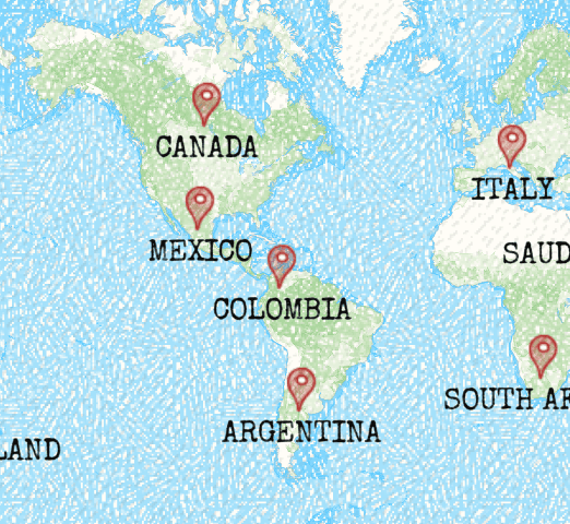
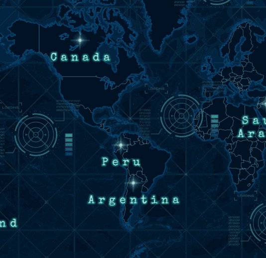

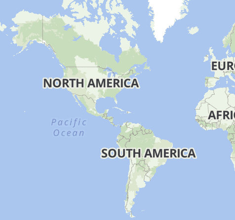
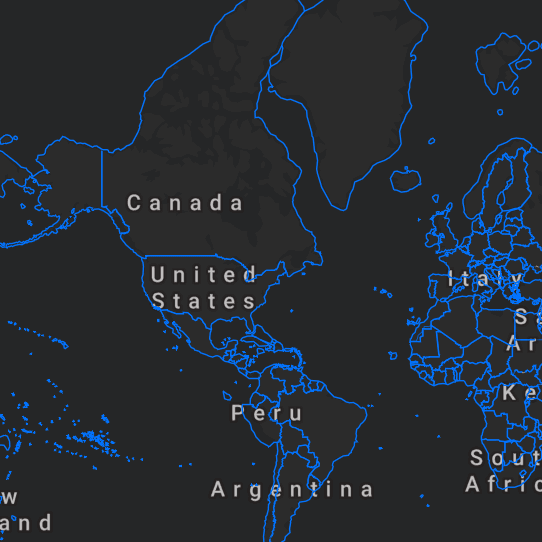

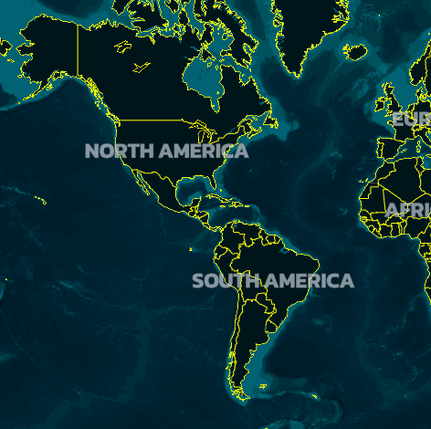
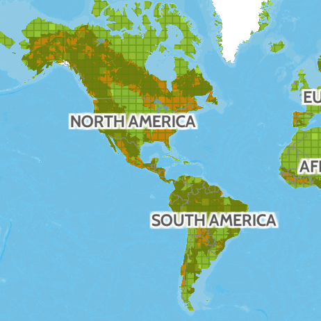
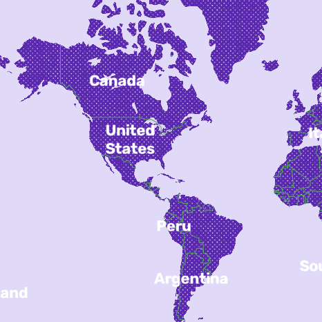
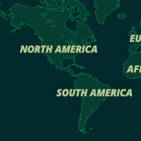
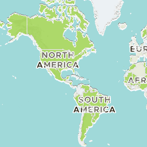
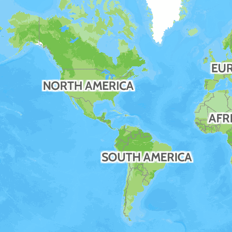
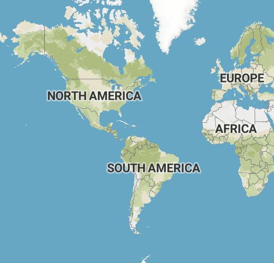
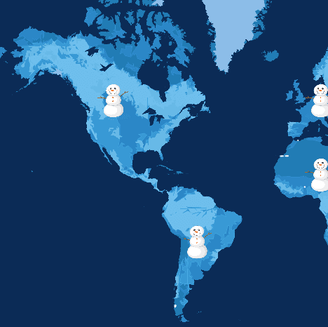
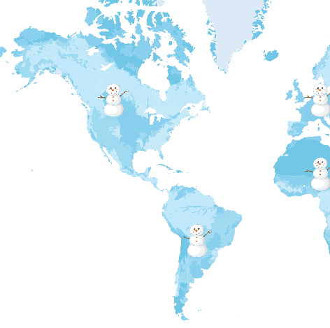
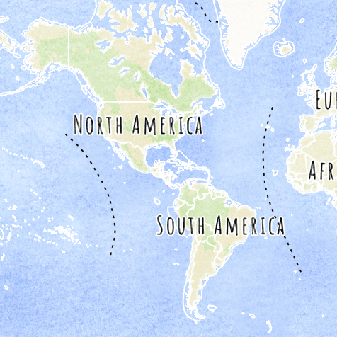
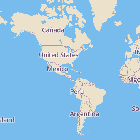
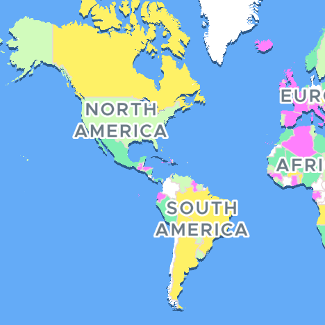
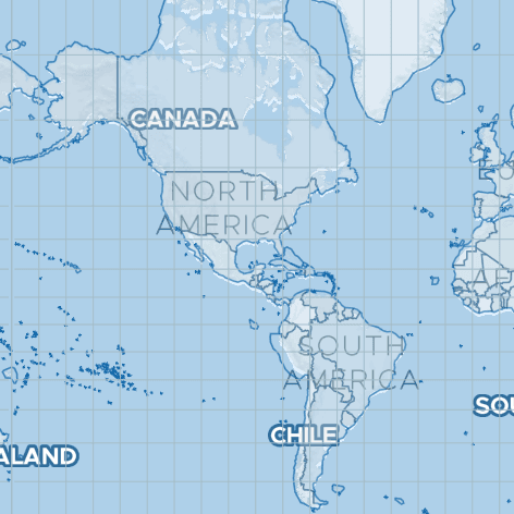
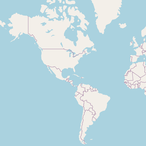

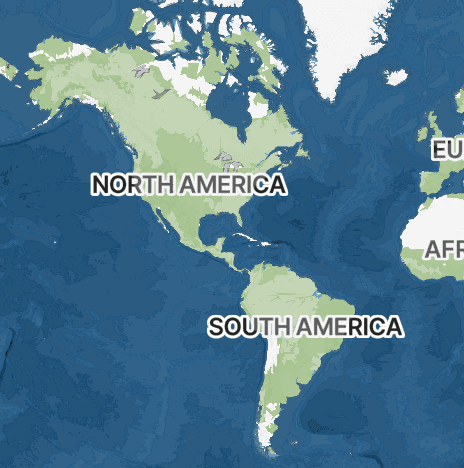
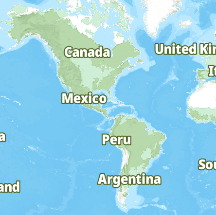
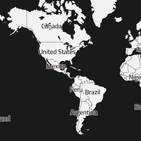
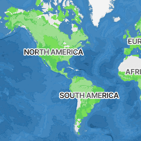


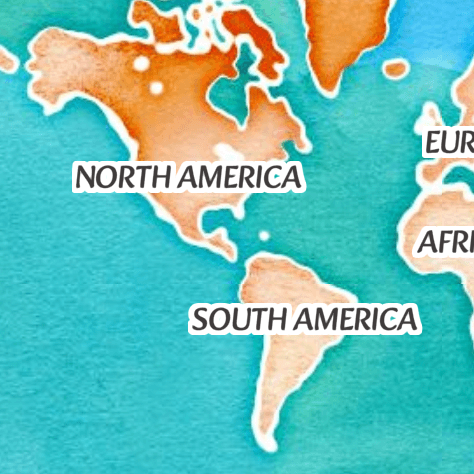
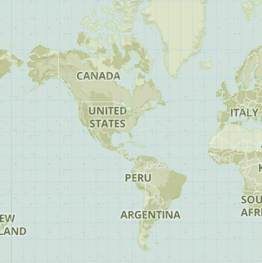
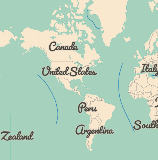

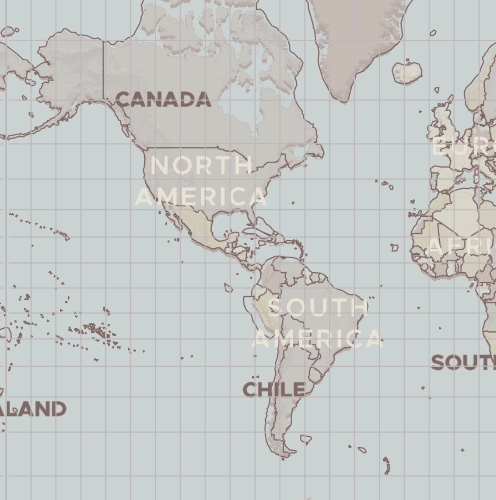
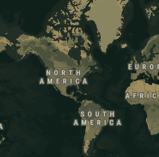
Terrain styles render elevation, ridgelines, rivers, and natural land cover with a hand-drawn or topographic feel. They're the obvious pick for hiking, trekking, road-trip, and adventure-travel map animations where the landscape itself is part of the story — Patagonia, the Himalayas, the Rockies, the Alps, the Pacific Crest Trail. Terrain pairs beautifully with car, campervan, motorcycle, and bike markers because the depth of the surface gives the animated route a real sense of climb and descent. If the ground beneath the route should communicate distance, effort, or remoteness, terrain is the safest default — and it stays readable even at small social-feed sizes.
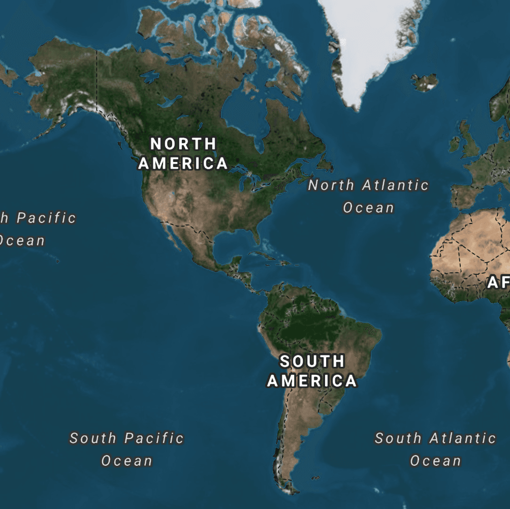
Satellite imagery shows actual rooftops, coastlines, agriculture, and city blocks, which makes it the best choice when geographic accuracy matters more than typographic legibility. Use it for cruise routes, sailing trips, transatlantic flights, expedition recaps, and any map animation where viewers want to see the real place rather than an illustrated version of it. Aerial textures pair especially well with plane and ship markers, where the surrounding ocean or terrain dominates the frame. Satellite is also a strong pick for branded property tours, drone-footage transitions, and real-estate route animations where the map should read as documentary footage.
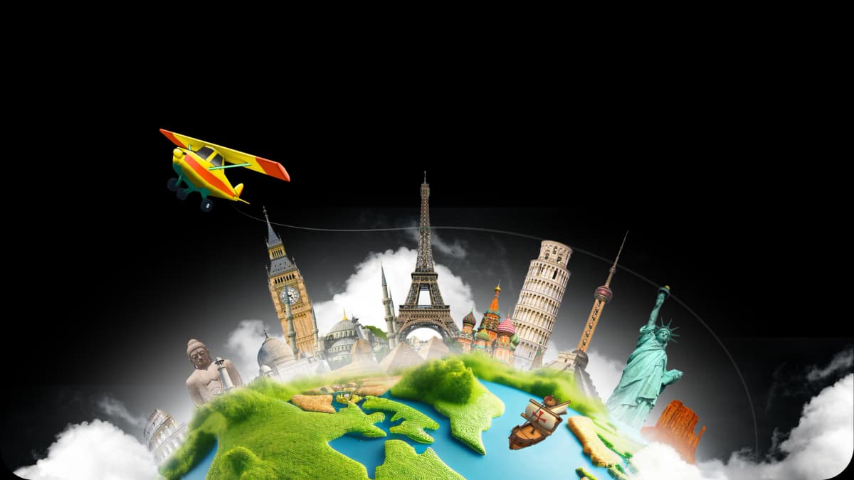
The 3D globe view animates routes against a rotating Earth, which makes it the strongest map animation style for long-haul flights, cruise itineraries, multi-continent trips, and around-the-world reels. Camera moves naturally arc over curvature instead of sliding flat across a 2D plane, and waypoints feel further apart at planetary scale. It's the right backdrop when the goal is scale and ambition: a global product launch, an expedition recap, a multi-stop influencer trip, an airline network explainer. Pair it with planes and ships for the strongest cinematic effect — cars and bikes can feel small at globe scale unless the camera is held close.
Flat 2D styles keep the focus on the route line and markers themselves, with clean colour palettes and minimal visual noise. They're ideal for short urban route animations, food-delivery and rideshare map animations, daily-commute reels, and infographic-style explainers where typography and brand colour matter more than terrain detail. Flat styles render fast on mobile, look sharp at small social-feed sizes, and stay readable over Instagram-length 9:16 crops or Reels. Pair them with stylised icon markers — top-down cars, scooters, walking figures — when the message is more about the path than the place itself.
More than 30, grouped into flat 2D styles, photographic satellite imagery, hand-drawn and topographic terrain, a fully rotatable 3D globe, and seasonal themes such as snow and Christmas. New styles are added in app updates.
A set of clean map styles is included on the free plan and is enough to finish and export a route video. The full 30+ library — including the richer terrain, satellite and seasonal themes — unlocks with Pro, alongside 4K export and the complete 3D model catalogue.
Yes. The style is a setting on the animation, not something baked into the route, so you can swap backdrops and preview the result before you export. Your stops, timing and vehicle stay exactly as you set them.
Terrain for hikes, road trips and anything where elevation tells the story; satellite when viewers should see the real place, such as cruises and coastal routes; the 3D globe for long-haul flights and multi-continent trips; flat 2D for short urban routes and infographic-style explainers that need to stay readable in a 9:16 feed crop.
Yes. Every route can be viewed flat or tilted into a 3D perspective, and the same style reads differently in each — terrain gains ridgelines and depth in 3D, while flat styles stay cleanest in 2D. Preview both before exporting; it is a one-tap switch.